The stile to take you onto the trail is in the car park of The Errington Arms Public House. Once over the stile the trail follows a slight incline as it passes through grassland. It is three and a quarter miles to Heavenfield.
 |
Information plaque
|
 |
| Stile at start of section |
You will be walking with the Vallum on your left and you will need to go over another stile. The trail continues to follow a slight incline until you meet a narrow road.
 |
| Trail beside the Vallum |
Two stiles with a newly installed gate negotiate this road crossing and you will find yourself with the Vallum still on your left and in continuing grassland.
 |
| View of the Vallum |
The trail is still following the slight incline and the Military Road (B6318) will be on your right.
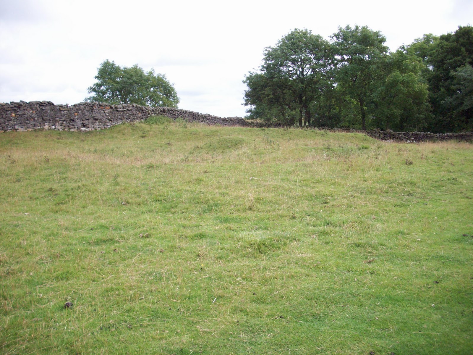
You will be coming to the site of Milecastle 23 - Ordnance Survey: NY975 689. The trail levels out as you near Milecastle 23.
 |
| Site of Milecastle 23 |
You will pass the site of Milecastle 23, on your right and enter Stanley Plantation through the gate. Much of the plantation of trees has been felled.
 |
| Gate into Stanley Plantation |
The trail is close to the Military Road as you pass through the now open ground. The trail is on level ground as you reach the highest point of the section 268 metres above sea level – Ordnance Survey: NY973 690. The trail then goes downhill until you exit the woodland.
 |
| Triangulation pillar |
 |
| Trail in Stanley Plantation |
As you leave Stanley Plantation you will cross a Drove road and continue on a level section with stone flags in some places, the Military Road Plantation on your left.
 |
| Approaching stone-flagged area of Trail |
At the end of this part of the trail there are two stiles to negotiate the road crossing. Once over the road, the Vallum will be on your left and on your right there is evidence of stone quarrying.
 |
| Evidence of stone quarrying |
After a slight incline the trail carries on through rough pasture and levels out through an area of gorse bushes. Another stile takes you into grassland and the site of Milecastle 24 – Ordnance Survey: NY960 692 is on your right.
 |
| Site of Milecastle 24 |
Passing Milecasle 24, it is a short walk to the stone stiles which are used to cross the Military Road. Care should be taken whilst crossing this very busy road.
 |
| Stone stile |
 |
| Stone stile |
The Military Road will now be on your left as you go down a set of stone steps to get back on the trail which continues in grassland. The Wall ditch can easily be seen on your left, as you continue on your walk.
 |
| Wall ditch beside the Trail |
 |
| Well defined section of Wall ditch |
The trail continues until you reach another stile, once over the path follows a short incline, the trail then follows level ground, until you reach another stile underneath the low branches of a tree.
 |
| Approaching slight incline |
Once over this stile you will walk down a gradual slope through grassland and go through a single gate. The ditch will now be on your right hand side as you approach St. Oswald’s Hill Head Farm.
 |
| Wall ditch approaching St. Oswald's Hill Head Farm |
Two further gates have to be negotiated before you walk up a set of steps at St. Oswald’s Hill Head Farm. The Tea Room has now been converted into a holiday cottage
and will be on your right.
 |
| Approaching steps at St. Oswald's Hill Head Farm |
 |
| St. Oswald's Hill Head Farm |


No comments:
Post a Comment